Here are some maps of Chesterfield’s villages
====================================================================================================
 1828
1828
West Chesterfield
This small section of an old highway map shows the village of West Chesterfield with very good detail. North is at the top.
====================================================================================================
1849 Center Village
This marvelous pictorial map of Center Village was drawn by Hoyt H. Wheeler at the age of sixteen.
A great grandson of an early settler, Peter Wheeler, Hoyt was educated at the Chesterfield Academy and moved to Newfane, Vt in 1849. He became a schoolmaster, then read for the law, was appointed a judge of the U.S. District Court of Vermont. He was also a surveyor and map maker (?).
This map shows the old meeting house just two years before it was burned. It is the only image we have of this historic structure.
Also of note, are a town pump in the farmyard of the Mead Tavern and the detail of the present Old Chesterfield Road, showing the now abandoned southern fork.
The map was a gift of Betty Richmond of Westmoreland. The population of Chesterfield was 1680 in
====================================================================================================
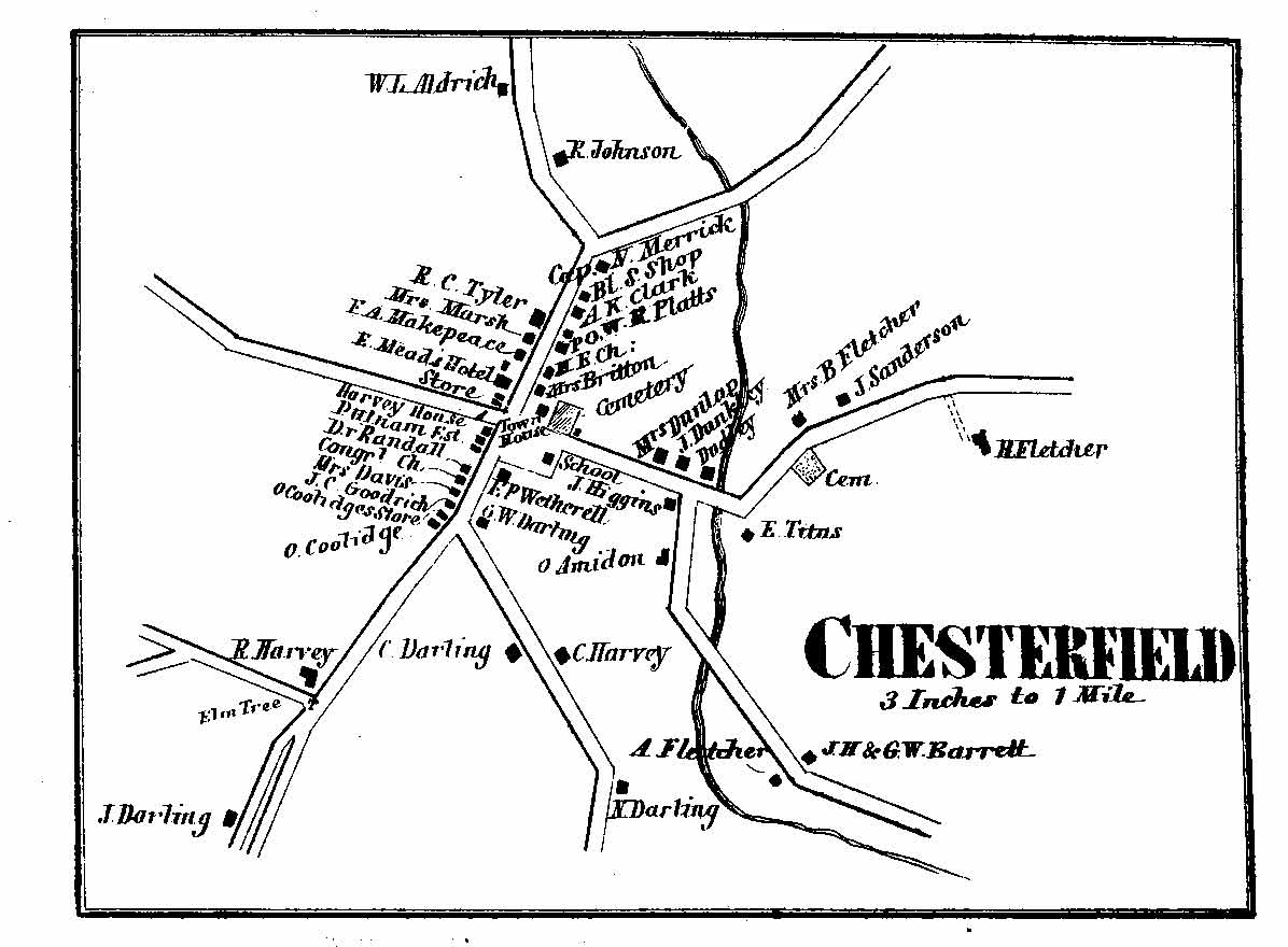 1858
1858
The Center Village detail map shows two churches, two stores, a hotel, a blacksmith shop, and, curiously, an elm tree in the middle of Main Street (Route 63).
====================================================================================================
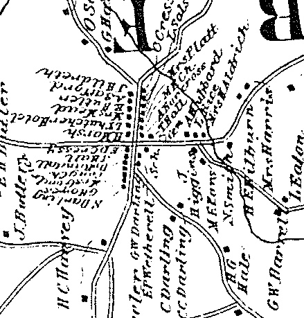 1877 ROTATE ?
====================================================================================================
 1892
1892
====================================================================================================
1816 Carrigain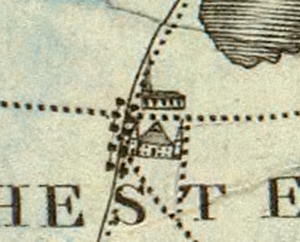
====================================================================================================