
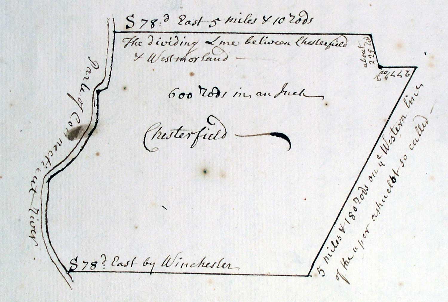
 The Massachusetts towns in Cheshire county became part of New Hampshire in 1740 when the King of England established the present boundary line.
But because of the hostilities, no further legal activities related to Chesterfield took place until 1753, when New Hampshire issued the Chesterfield charter.
This map, taken from the actual charter in Concord, shows the 1753 lines- the same lines we have today.
=================================================================================================
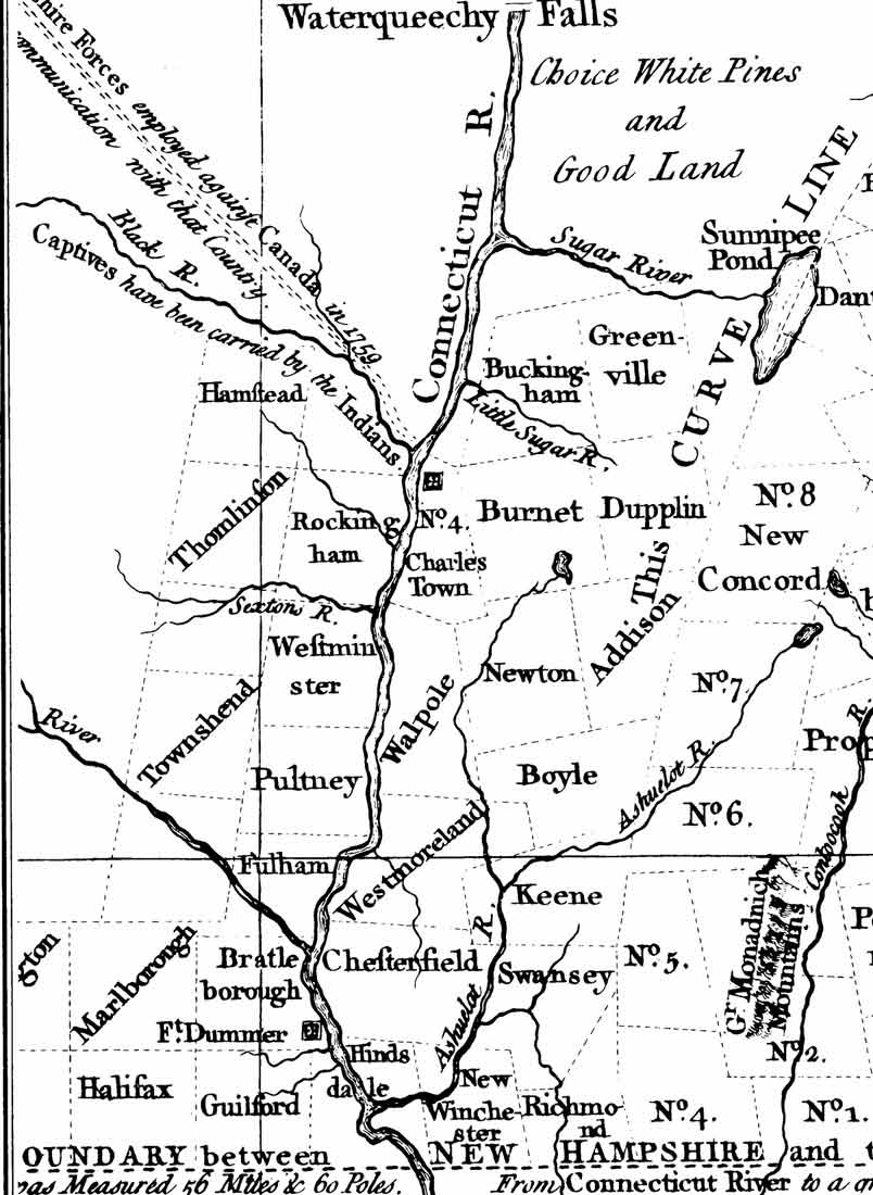 The next map shows the various towns in their circa 1757 condition. This map, an excerpt from the Blanchard & Langdon map published in 1761, shows conditions at the end of the French & Indian War in New England (1756-1761.)
Note “Captives have been carried by the Indians”on the Vermont side of the river opposite “No 4 Charles Town”. A substantial fort was built here above Fort Dummer to protect the settlers in Keene and other southerly towns. We call it “Fort No. 4” today, though earlier it was called the “Fort at Township No. Four”, the fourth of the line of towns established in 1736.
Note that Hinsdale is on both sides of the river, and that there are several new towns. On the west bank of the river are the new towns of Brattleborough, Guilford and Fulham (Dummerston). These towns were also chartered by New Hampshire in 1753. On the east side of the river, charters and new names were given to older towns which were now to be called Chesterfield, Swanzey and Keene.
This flurry of activity by New Hampshire was related to a dispute with the Province of New York, which held a competing claim to the lands on the west bank of the river. There was no Vermont until much later. The New Hampshire – New York dispute continued until 1764, when the King ruled in favor of New York and made the Connecticut River’s west bank the new Province boundary.
The last Indian attack in this area was in 1757, and peace was assured by 1760 when the Montreal was captured by the British. The next year New Hampshire issued new charters to area towns, as the 1753 charters had not been complied with due to the danger. Chesterfield’s charter was issued on 1761. This is what we are celebrating in 2011.
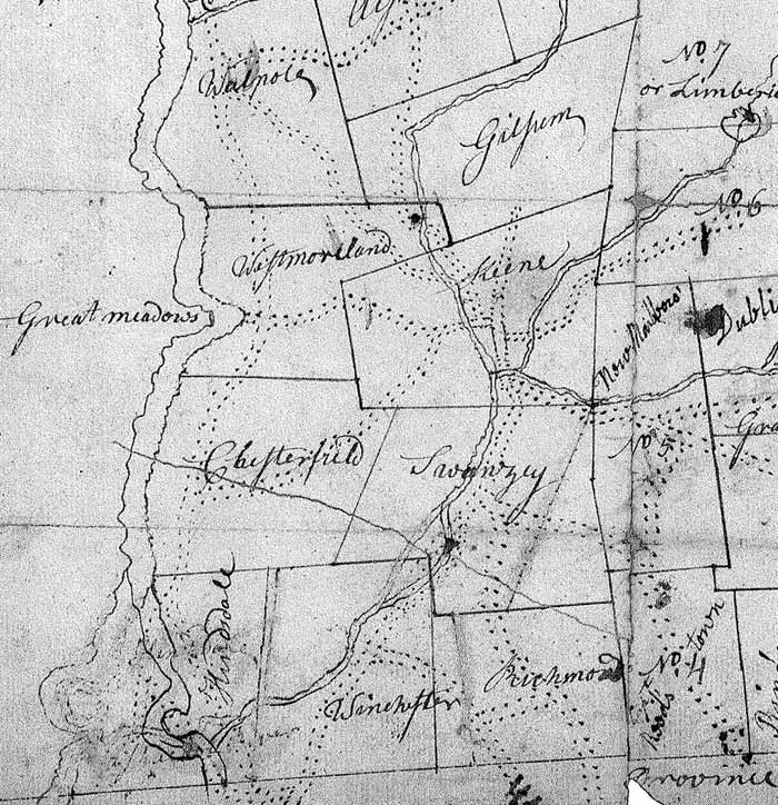 Settlement grew rapidly after the area charters, and by 1767 there were enough towns that a group of them were grouped together with a new county – Cheshire County. This next map is a manuscript sent to Concord entitled ”