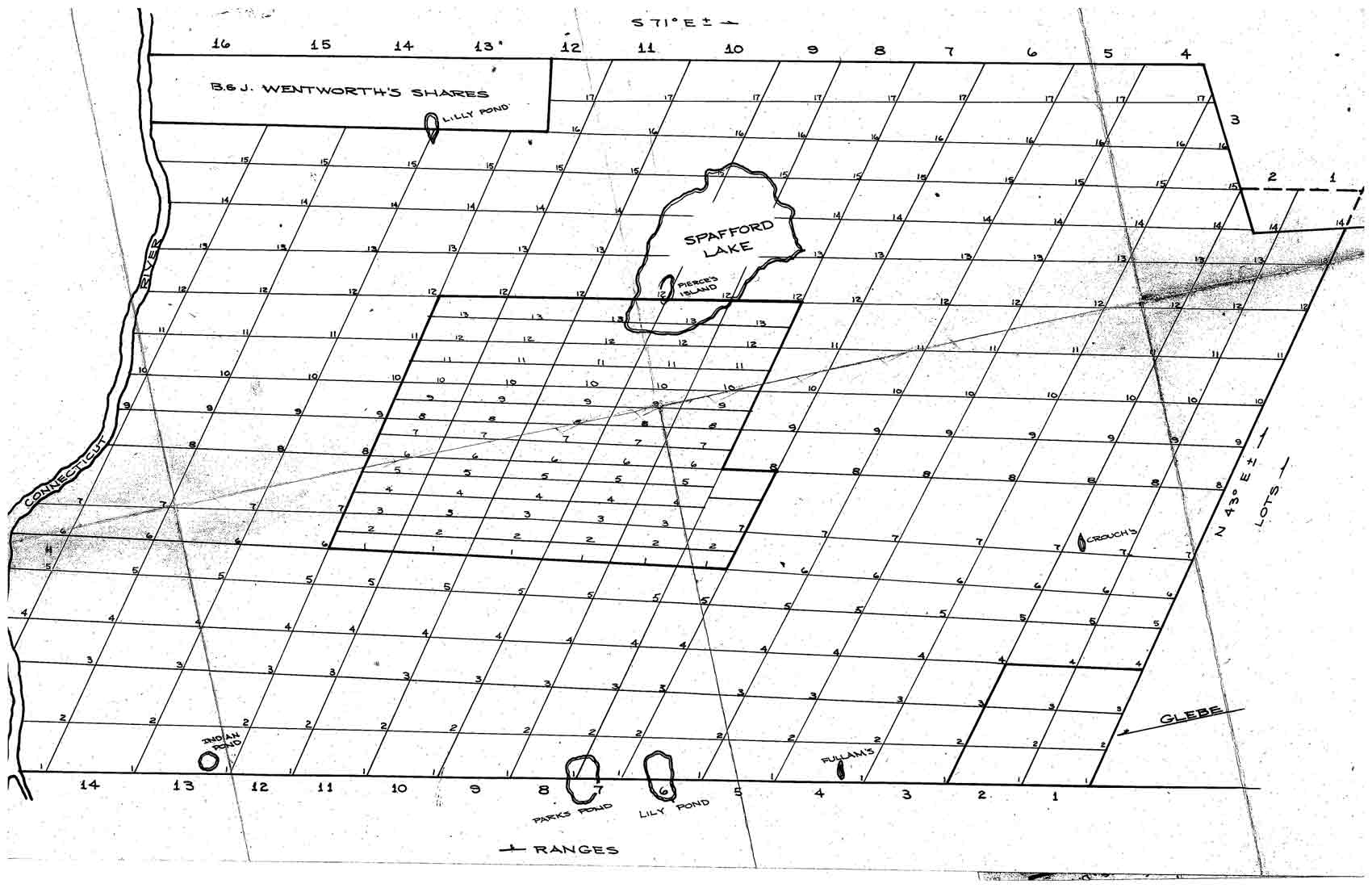
Proprietors’ Map ca 1780
================================================================================================
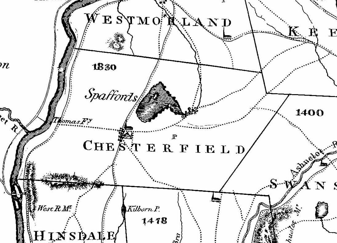
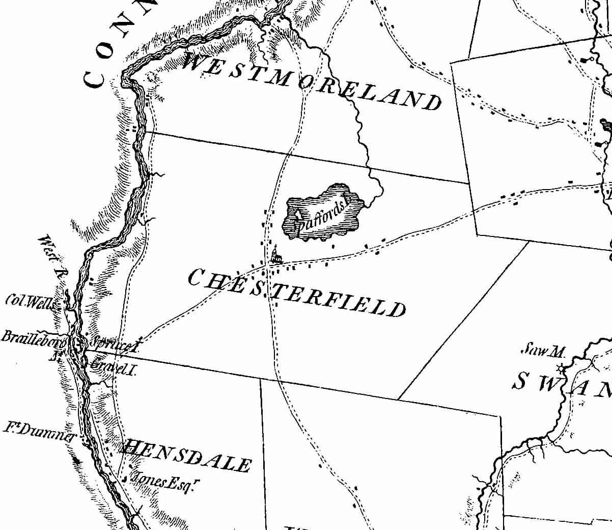 Our next map shows conditions at about 1774, just before war broke out with England.
The colonial government made detailed surveys of New Hampshire to high technical standards under the supervision of Major Samuel Holland, the Surveyor-General for this area of North America. The “Holland” map had especially good detail on the Provincial boundary, so we can probably assume that Chesterfield is well depicted here.
The map was not actually printed until 1784, after the war, but it is generally accepted that the information is circa 1774. This is the first map we have found to show roads and the names of any landowners.
The north-south road is today’s Route 63. The other roads need some more analysis to be identified.
.We assume that the roads shown are the principal roads at the time, though there were other roads. This may be the earliest map which shows Spofford Lake, here name “Spaford’s”.
=================================================================================================
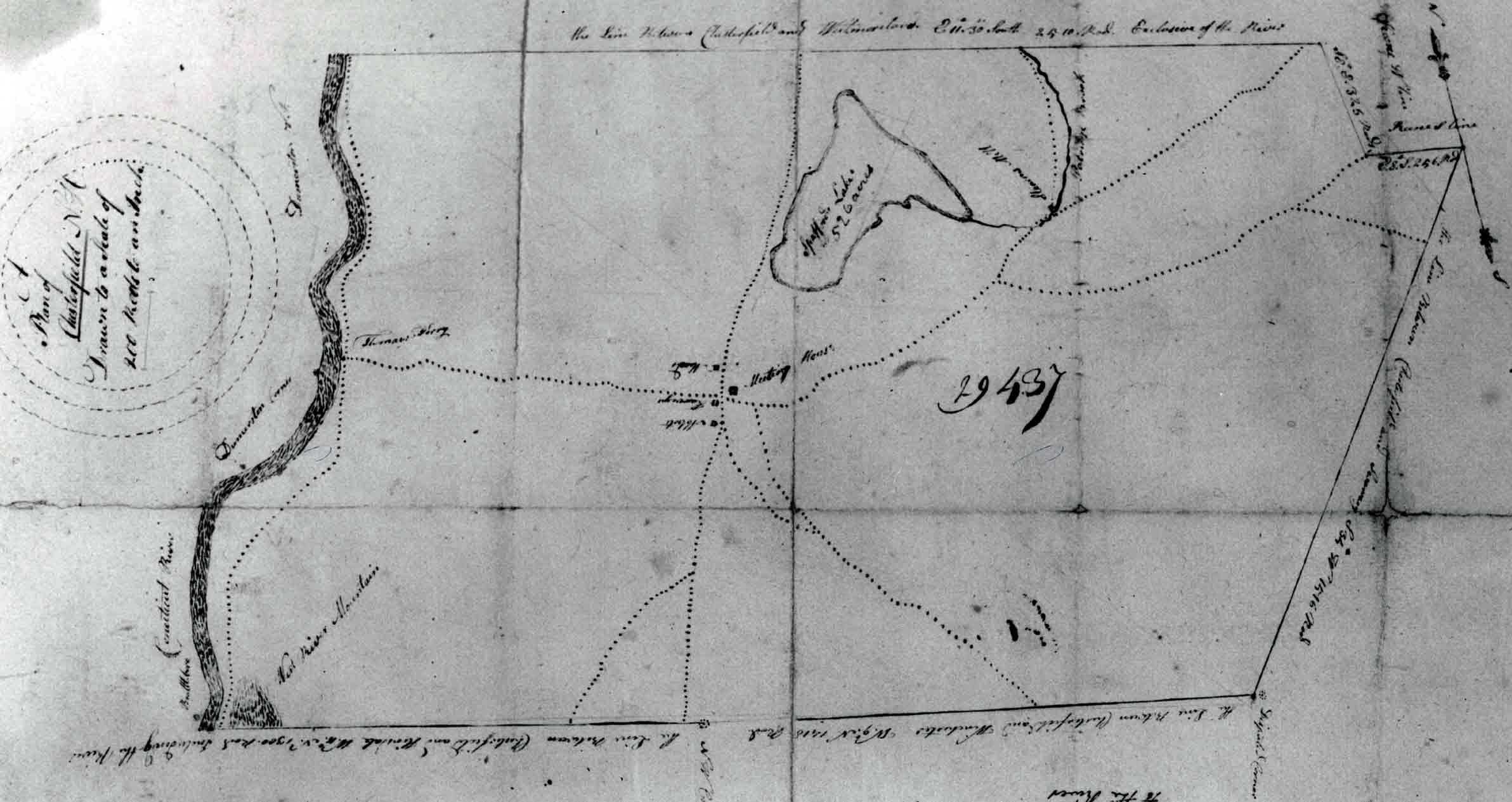 The 1805 map of Chesterfield is one of many town maps made in that year so that an accurate map of the state could be made.
=================================================================================================