A selection of maps of the Brooks House through the years see also Fire Insurance Maps
======================================================================================================================================
 On the left – 1876 – from the Bailey & Hazen bird’s eye view.
There are two buildings on the west side of Main Street, the Brooks House and the Crosby Block.
The map on the right was made 7 years earlier (1869 – Beers Atlas) just before the Brooks House was built.
Most of the 1869 shops on Main Street were destroyed by a huge fire.
======================================================================================================================================
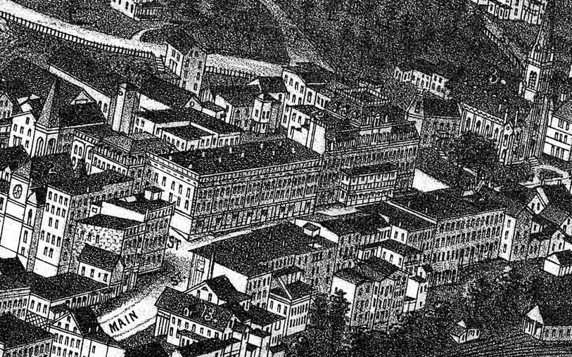
 This photograph of the whole block is from the 1880 Howe photograph of Brattleboro.
In the near foreground are the railroad tracks.
======================================================================================================================================
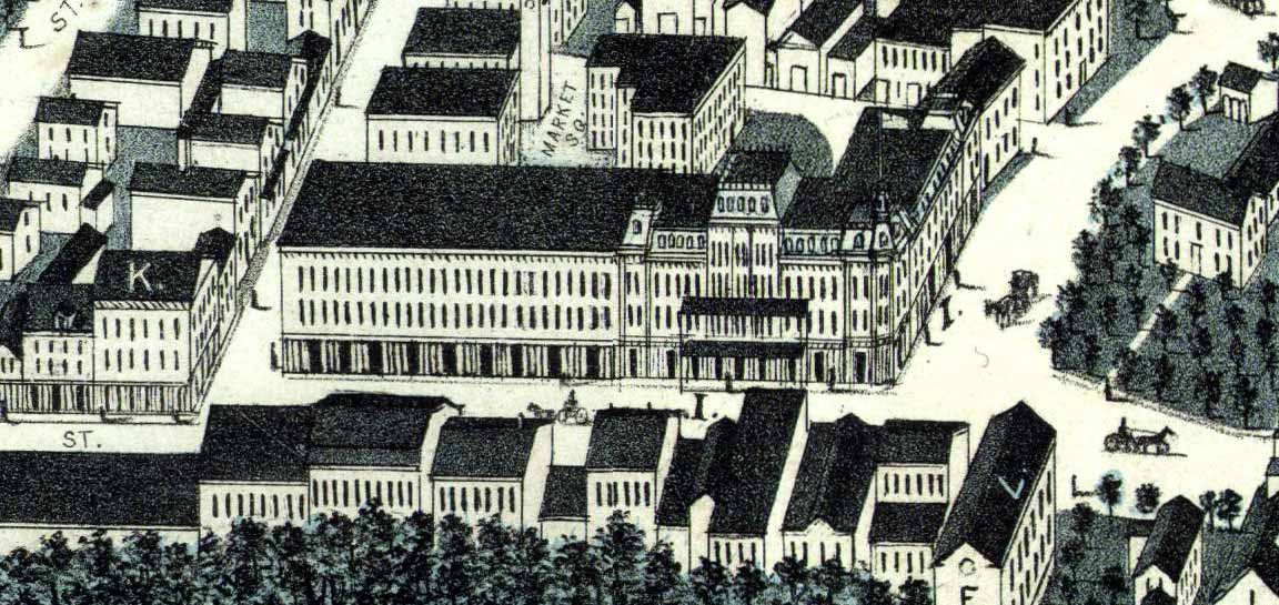
 An excerpt from the Burleigh view of Brattleboro. Note what appears to be an extension in front of the Brooks House covering the area of today’s sidewalk.
======================================================================================================================================
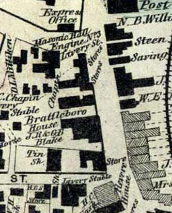
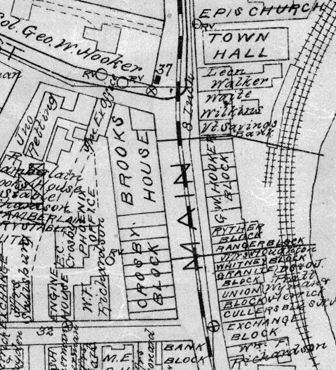 The 1895 Miller map depicts every building’s outlines. The heavy dashed line in Main Street is the trolley line.
======================================================================================================================================
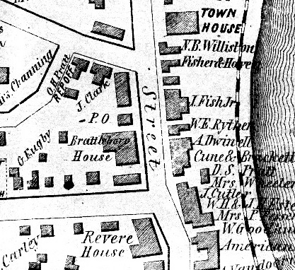
Below: Two 1850s maps of the same area, well before Main Street’s present buildings were built.
1852 1856
 1852
1852