
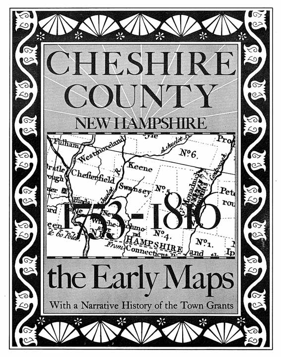
 Cheshire County New Hampshire
The Early Maps
1753-1816
With A Narrative History of the Town Grants
@ Old Maps West Chesterfield, NH 03466
[subpage-view depth="1"]
===================================================================================================================
Acknowledgements
Old Maps wishes to thank the following individuals and institutions whose assistance has been valuable to the publication of this work:
William Copeley, New Hampshire Historical Society, and Stella Schekter, New Hampshire State Library for their time, and permission to photograph maps in their collections; the Library of Congress for supplying photographs of maps in its collection; the Massachusetts Archives and the New Hampshire State Archives for supplying photographs of manuscript maps and data needed for the \reconstruction of early boundaries; David Mann for his knowledge of surveying principles and his interpretation of old deeds; and William Holmes, for his editorial assistance in the preparation of the work.